Mratinje dam
| Mratinje dam | |||||||
|---|---|---|---|---|---|---|---|
| Dam wall | |||||||
|
|||||||
|
|
|||||||
| Coordinates | 43 ° 15 ′ 0 " N , 18 ° 49 ′ 30" E | ||||||
| Data on the structure | |||||||
| Construction time: | 1971-1976 | ||||||
| Height above foundation level : | 220 m | ||||||
| Building volume: | 732 940 m³ | ||||||
| Crown length: | 268 (201?) M | ||||||
| Crown width: | 4.5 m | ||||||
| Base width: | 45 m | ||||||
| Power plant output: | 360 MW | ||||||
| Data on the reservoir | |||||||
| Water surface | 12 km² | ||||||
| Storage space | 880 million m³ | ||||||
| Catchment area | 1 757.7 km² | ||||||
| Design flood : | 1,670 m³ / s | ||||||
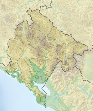
The Mratinje dam in Montenegro is a large dam with a 220 m high dam in a narrow, steep gorge in the valley of the Piva , a source river of the Drina . The reservoir , the Pivsko jezero , is located near the border with Bosnia-Herzegovina. The dam takes its name from the place Mratinje and the Mratinje rock, which is 2.85 km above the dam.
The arch dam is doubly curved and has a horizontally and vertically variable thickness. The crown length is given as 201 and 268 m. There is a hydroelectric power station below the dam . Its three turbines generate 120 MW each with a flow rate of 80 m³ / s, together 360 MW, and generate 860 GWh of electricity annually.
See also
- List of the largest dams on earth
- List of the largest reservoirs on earth
- List of dams in the world
- List of the largest hydroelectric plants in the world
Web links
Commons : Mratinje Dam - collection of images, videos and audio files


