Mukawwar
| Mukawwar | ||
|---|---|---|
| Waters | Red Sea | |
| Geographical location | 20 ° 48 ′ N , 37 ° 16 ′ E | |
|
|
||
| length | 12 km | |
| width | 3.3 km | |
| surface | 20 km² | |
| Highest elevation | 94 m | |
| Residents | uninhabited | |
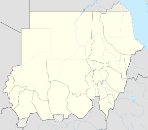
Mukawwar, also Jazirat Magarsam, is an approximately 20 km² island south of Dungonab Bay in the Red Sea in northern Sudan .
geography
The 12 km long and up to 3.3 km wide island is located 6.9 km from the coast southeast of the fishing village of Muhammad Qol in a north-south direction and belongs to the state of al-Bahr al-ahmar . The rocky sandstone island has cliffs that are obviously eroded by heavy rainfall. It is largely without vegetation, with bare rock and sand. Only at the southern end there are some mangroves . It reaches a height of 94 meters. The Egyptian border is 100 km north, Port Sudan about 120 km south. In the north of the island there are coral reefs , in the south and also in the northern area of the channel to the mainland there are isolated mangroves. Occurrences of seaweed are widespread . In the north and east there are small islands.
fauna
Mukawwar is a breeding area for the white-eyed gull and the black tern as well as sea turtles .
Web links
- Mukawwar Island on geographic.org
- BirdLife IBA factsheet
- Site Specific Master Plan Dungonab and Mukawwar.pdf
