Nan Ling
| Nan Ling | ||
|---|---|---|
| location | Guangdong , Guangxi , Hunan , Jiangxi ( PR China ) | |
|
|
||
| Coordinates | 25 ° 10 ′ N , 112 ° 20 ′ E | |
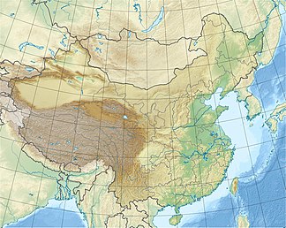
The Nanling Mountains ( 南嶺 山脈 / 南岭 山脉 , Nánlǐng Shānmài ), also known as Nan Ling or Nanling ( 南嶺 / 南岭 , Nánlǐng - "Southern Mountains"), are a mountain range in southern China that is located on the Border of Hunan , Jiangxi , Guangdong Provinces and Guangxi Autonomous Region .
It forms the watershed between the Yangtze and the Pearl River, a natural borderline of southern China. It runs in a west-east direction over a length of approx. 600 kilometers and is approx. 200 km wide. Another name for the mountain range is Wuling Mountains ( 五嶺 山脈 / 五岭 山脉 , Wǔlǐng Shānmài ), also known as Wu Ling or Wuling ( 五嶺 / 五岭 , Wǔ Lǐng - "Five Mountains"), as it is made up of the five major mountain ranges Yuecheng ( 越城嶺 / 越城岭 , Yuecheng Lǐng ) Dupang ( 都龐嶺 / 都庞岭 , Dōupáng Lǐng ) Mengzhu ( 萌渚嶺 / 萌渚岭 , Méngzhǔ Lǐng ) Qitian ( 騎田嶺 / 骑田岭 , Qítián Lǐng ) and Dayu ( 大 庾 嶺 / 大 庾 岭 , Dàyǔ Lǐng ). The Jiulian Mountains ( 九 連山 / 九 连山 , Jiǔlián Shān ) on the border between Jiangxi and Guangdong are one of them. The area south of the mountains has a tropical climate.
