Nantai (volcano)
| Nantai | ||
|---|---|---|
|
The Nantai from the south with Lake Chūzenji |
||
| height | 2484 m | |
| location | Honshu Island , Japan | |
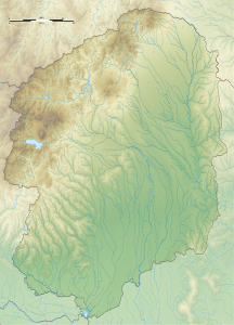
| Coordinates | 36 ° 45 ′ 54 " N , 139 ° 29 ′ 25" E | |
|
|
||
| Type | Stratovolcano | |
The Nantai ( Japanese 男 体 山 , -san ) is a mountain in the Nikkō National Park in central Honshū , the main island of Japan . It is 2,484 meters high.
geography
The stratovolcano is located on the north bank of Lake Chūzenji .
Eruptions of the volcano
The lake was formed when a lava flow from Nantai blocked the Daiya River . In the present, the lava flow is overcome through the Kegon Falls . In two later eruptions , slag was expelled and pyroclastic currents formed . In another outbreak of a created dacite existing lava flow. The last known eruption around 10,000 years ago was preceded by a period of rest for around 3,000 years. During this eruption, pyroclastic currents occurred again.
Excursion destination
The mountain is popular with hikers; a path to the summit leads through a gate of the Chugushi shrine at the foot of the mountain. The gate is open from May 5th to October 25th. In the Chugushi Shrine and the Nikkō Futarasan Shrine , the Kami of the mountain, Onamuchi no Mikoto, is venerated.
Web links
- Nantai (Vulkan) in the Global Volcanism Program of the Smithsonian Institution (English)
- Nantai in the Japanese Volcanoes Quaternary database (English and Japanese)

