Novigrad sea
| Novigrad sea | ||
|---|---|---|
|
View from the Novsko ždrilo strait over the Novigrad Sea |
||
| Waters | the Adrian Sea | |
| Land mass | Balkan Peninsula | |
| Geographical location | 44 ° 12 ′ N , 15 ° 31 ′ E | |
|
|
||
| width | 5 km | |
| depth | 11 km | |
| surface | 28.65 km² | |
| Medium water depth | 28 m | |
| Tributaries | Zrmanja | |
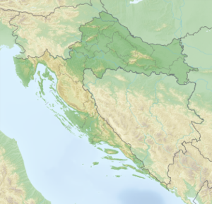
The Novigrad Sea ( Croatian Novigradsko more ) is a bay in the upper Adriatic Sea in Croatia . It cuts deep into northern Dalmatia around 25 kilometers northeast of Zadar and is only connected to the Adriatic Sea by the narrow Novsko ždrilo strait . The strait at Maslenica is spanned by two road bridges.
The bay has a total area of 28.65 km² with a length of eleven and a width of five kilometers. The mean water depth in the central part of the bay is 28 meters. The bay is named after the small, historic port town of Novigrad , whose town center lies on a fjord-like indentation on the south coast of the Novigrad Sea and which has been inhabited since the Bronze Age. At the western end of the bay is the place Posedarje .
The most important tributary to the bay is the Zrmanja river , which flows through a karst area and drains the eastern hinterland and flows into the east side of the bay.
Another narrow strait ( Karinsko ždrilo ) near Ribnica connects the Novigrad Sea with the inland Karin Sea ( Karinsko more ).
Individual evidence
- ↑ Zadar County website, www.zadarska-zupanija.hr: Studija opravdanosti davanja koncesije i procjena vrijednosti koncesije. za uzgoj školjki KO Novigrad, Općina Novigrad na području Zadarske županije (Croatian; PDF), accessed on October 23, 2014
- ^ Website of the municipality of Novigrad, www.novigrad-dalmacija.hr: History , accessed on October 23, 2014


