
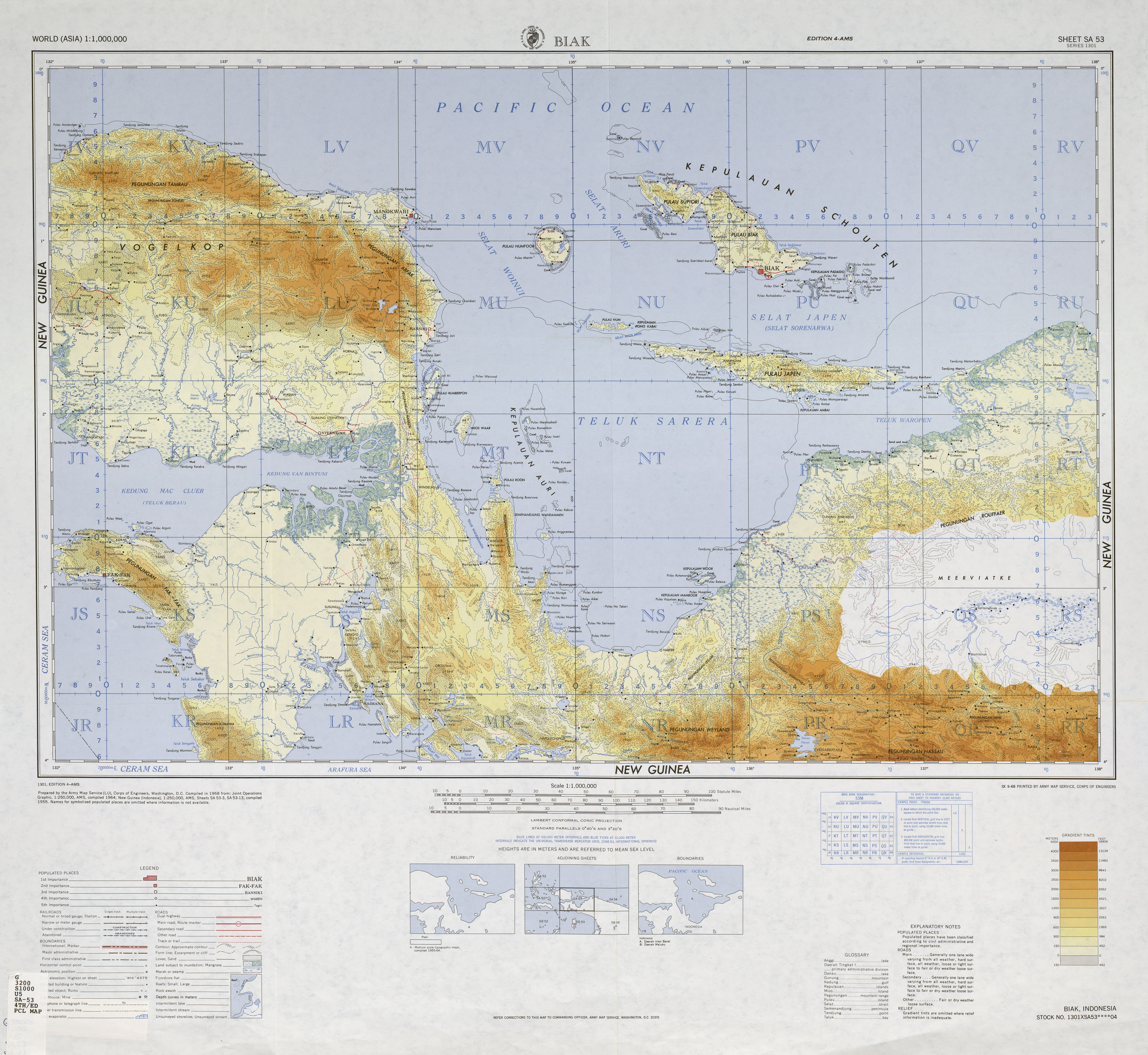
Numfor
| Numfor | ||
|---|---|---|
_Topography.png) |
||
| Waters | Pacific Ocean | |
| Archipelago | Schouten Islands | |
| Geographical location | 1 ° 0 ′ S , 134 ° 52 ′ E | |
|
||
| length | 25.8 km | |
| width | 19.3 km | |
| surface | 335 km² | |
| Highest elevation | 204 m | |
| main place | Namber | |

Numfor , also Noemfoor, Numfoor, Noemfoor, is one of the Biak Islands that belong to the Schouten Islands and are assigned to the province of Papua , Indonesia .
geography
The island is located immediately north of the large Cenderawasih Bay , formerly Geelvink Bay, between the Vogelkop Peninsula and Supiori and Yapen . Almost oval, it has an area of 335 square kilometers. It is mostly surrounded by coral reefs , with the exception of a few points on the southeast coast. There are also some low but steep cliffs on the southeast coast . Most of the interior of the island is covered by tropical rainforest . The number of endemic bird species is particularly high.
The island reaches a height of 204 meters, but without pronounced peaks; overall it appears relatively flat.
history
It was the scene of the conflict between the Japanese and the Allied forces in World War II and was a major air base for both sides. The island was occupied by Japanese forces in December 1943. About 5000 people lived on the island at the time. In addition there were around 600 members of an aid and labor unit from what is now Taiwan and 500 Indonesian forced laborers. The Japanese built three airfields on the island, one of which is still in operation today. In April 1944, the Americans began bombing the island. The invasion began in July; the fighting lasted until the end of August 1944.
Between 1909 and 1917 Numfor was the scene of the second phase of the Mansren-Koreri movement , a cargo cult .