Ocotal
| Ocotal | ||
|---|---|---|
|
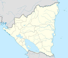
Coordinates: 13 ° 38 ′ N , 86 ° 29 ′ W Ocotal on the map of Nicaragua
|
||
| Basic data | ||
| Country | Nicaragua | |
| Department | Nueva Segovia | |
| City foundation | 1780 | |
| Residents | 32,450 | |
| City insignia | ||
| Detailed data | ||
| surface | 104 km 2 | |
| Population density | 312 inhabitants / km 2 | |
| height | 598 m | |
| Time zone | UTC −6 | |
| City Presidency | Xiomara Tercero Lopez ( FSLN ) | |
| Website | ||
| Church with a new bell tower | ||
Ocotal is a city in northern Nicaragua in the Nueva Segovia department about 225 km from Managua . It is 598 m high, its area is 104 km², on which around 32,450 inhabitants live mainly from growing coffee and tobacco .
history
The city was founded in 1780 as Nueva Reducción de Segovia .
Ocotal was a stronghold of Augusto César Sandino's army in the 1920s . It was bombed from the air by US Marine Corps units on July 16, 1927 at the Battle of Ocotal .
Twin cities
Web links
Commons : Ocotal - collection of images, videos and audio files


