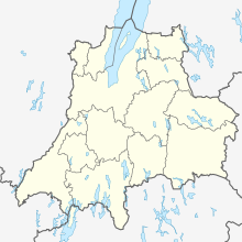
Os (Sweden)
| Os | ||||
|
||||
| State : | Sweden | |||
| Province (län): | Jönköpings län | |||
| Historical Province (landskap): | Småland | |||
| Municipality : | Värnamo | |||
| Coordinates : | 57 ° 12 ' N , 14 ° 20' E | |||
| SCB code : | S1755 | |||
| Status: | Småort | |||
| Residents : | 58 (December 31, 2015) | |||
| Area : | 0.4 km² | |||
| Population density : | 145 inhabitants / km² | |||
Os - old and unofficial spelling Ohs - is a place ( Småort ) in the Swedish province of Jönköpings län and the historical province (Landskap) of Småland .
The place is located about twenty kilometers east of the main town of Värnamo and can be reached via the Länsväge F 707 and F 723. A narrow-gauge railway , the Ohsabana , which is only used for tourism , connects Os with the southwestern Bor .
Os is on the southern tip of Lake Rusken . The church of Os is part of Gällaryds församling .
history
The place was built around an ironworks in the 17th century. A sawmill and a sulphite factory followed later. The pulp mill secured the existence of the narrow-gauge railway until 1967. In 1978 the pulp mill was the last industrial company to cease production, so that the population shrank from 260 (1950) to 58 (2015).

