Oschtoran cow
| Oschtoran cow | ||
|---|---|---|
| height | 4050 m | |
| location | Iran | |
| Mountains | Zāgros Mountains | |
| Coordinates | 33 ° 20 ′ 39 ″ N , 49 ° 17 ′ 19 ″ E | |
|
|
||
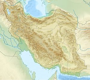
The Oschtoran cow ( Persian اشترانکوه) is a mountain range about 15 kilometers south of the city of Dorud in Lorestan Province , Iran . The Oschtoran Kuh, stretched in a north-west-south-east direction, lies in the Zāgros Mountains and is the highest mountain in Lorestan. At the southwestern foot of the massif is the picturesque Gahar Lake. Different tribes of the Bakhtiars live on the foothills of the Oschtoran Kuh.
etymology
Oschtoran Kuh means "mountain of camels" in Persian and consists of the words, "Oschtoran", the plural form of "Oschtor" (شتر), "camel" with the plural suffix "an", and "Kuh" (کوه), "Mountain". The name comes from the fact that the mountain massif, with its eight peaks lined up next to one another and more than 4000 meters high, is schematically similar to a caravan of camels passing by in the horizon.
geology
Located in the geological and structural zone of Lorestan, the Oschtoran cow is mainly made of limestone. The peaks of the Oschtoran Kuh include the Gol Gol (4050 m), the Golrizan (4014 m), the Golgahar (4044 m), and the Kolayo (4080 m).
climatology
The Oschtoran Kuh is a high mountain with snow-capped peaks and icy valleys and has a cold mountain climate with cold winters and cool summers.
Plant and animal life
The various forms of vegetation on the mountain include mountain pistachios, rhubarb, kidthorn and wild plants. Occurring animals include brown bears, foxes, gray wolves, wild boars, hyenas, squirrels, wild cats and mountain goats, and birds include eagles, quails and owls. The "Oshtorankuh Nature Reserve" has an area of around 98,000 hectares.

