Pang La
| Pang La | |||
|---|---|---|---|
|
|
|||
| Compass direction | North | south | |
| Pass height | 5150 m | ||
| region | Tibet Autonomous Region | ||
| Watershed | Bum Chhu ( Phung Chhu ) | Dzakar Chhu ( Zakar Chhu ) | |
| Valley locations | Chay | Peruche | |
| map | |||
|
|
|||
| Coordinates | 28 ° 30 '50 " N , 87 ° 4' 4" E | ||
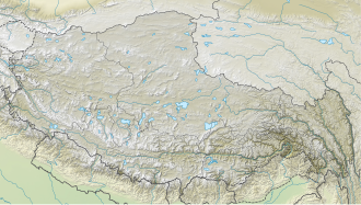
As Pang La two passes are referred to, which coming from the north, access to the area of Mount Everest permit.
As for numerous mountains and passes in Tibet , various information can be found for the height of Pang La, covering the range from 5050 meters to 5210 meters.
The Pang La West is designed for the use of motor vehicles, but unpaved - on its north side 41 switchbacks lead towards the Friendship Highway , to the south the valley of the Dzakar Chhu is reached via 64 bends. The pass is also very popular with mountain bikers.
Pang La East, around 30 meters lower, is a few kilometers to the east. This original passage over the mountain range is rarely used today.
The pass is visited by numerous tourists because of its panorama, which extends from Makalu over Lhotse and Mount Everest to Cho Oyu .


