Pangenfeld
|
Pangenfeld
City of Bergisch Gladbach
Coordinates: 50 ° 57 ′ 35 ″ N , 7 ° 9 ′ 20 ″ E
|
||
|---|---|---|
|
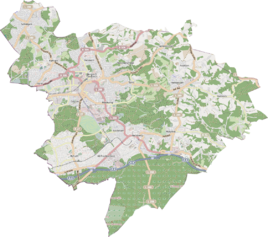
Location of Pangenfeld in Bergisch Gladbach |
||
Pangenfeld is a district in the Kaule district of Bergisch Gladbach .
history
The name of the settlement Pangenfeld takes up the old name “Am Pangenfeld” , which is recorded in the original cadastre southeast of the Kaule settlement. At the same point it is said that a winding historical path ran here, which was called "Holzweg nach der Kaule" . The meaning of the defining word pangen cannot be deduced with certainty. It is possible that there was once a clay pit in which bricks and roof tiles (in the vernacular they are called breakdowns ) were burned.
Individual evidence
- ^ Andree Schulte, Bergisch Gladbach, city history in street names , published by the Bergisch Gladbach city archive, volume 3, and by the Bergisches Geschichtsverein department Rhein-Berg e. V., Volume 11, Bergisch Gladbach 1995, p. 298, ISBN 3-9804448-0-5

