Pasas
| Pasas | ||
|---|---|---|
| Waters | Aegean | |
| Archipelago | East Aegean Islands | |
| Geographical location | 38 ° 30 '13 " N , 26 ° 17' 8" E | |
|
|
||
| surface | 2.414 km² | |
| Highest elevation | 114 m | |
| Residents | uninhabited | |
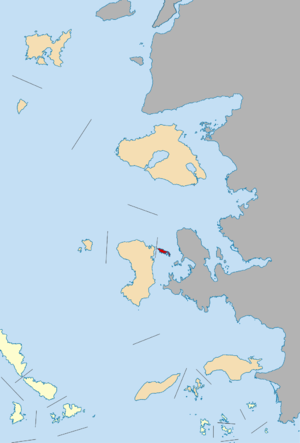
Pasas ( Greek Πασάς Οινουσσών ( m. Sg. ), Also transcribed as Passas ) is the second largest and easternmost island of the small Greek archipelago of Inousses on the eastern edge of the Aegean Sea . The Inousses group is located in the strait between Chios and the Turkish Karaburun peninsula , from which Pasas is about five kilometers away.
Pasas belongs to the East Aegean Islands , is uninhabited and has an area of 2,414 square kilometers. It is about 4 km long from north to south and up to 1 km wide. The closest islands of the group are Pondikonisi (Ποντικονήσι) in the west and Vatos (Βάτος) in the south .
In the middle west of the island there is a small Greek Orthodox church. The highest point is 114 m in the south of the island. On the southeast coast there is a 8.5 m high lighthouse built by the French in 1863.
Web links
Individual evidence
- ^ Charles Arnold (ed.): The islands of the Mediterranean . A unique and complete overview. 2nd Edition. marebuchverlag, Hamburg 2008, ISBN 3-86648-096-2 .
- ↑ Chios map, 1: 60,000 . Road Editions, ISBN 960-8481-91-0 .

