Payer Tinde
| Payer Tinde | ||
|---|---|---|
| height | 2320 m | |
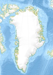
| location | Suess-Land , Greenland | |
| Dominance | 26.13 km → Margaretatop | |
| Notch height | 2045 m | |
| Coordinates | 73 ° 7 '36 " N , 26 ° 21' 36" W | |
|
|
||
| First ascent | 1952 by John Haller and Wolfgang Diehl | |
|
Payer and Copeland discover the Petermannspitze in the distance. The summit on the left is the Payerspitze. |
||
Payer Tinde ( German also Payerspitze ) is a 2320 meter high mountain in Suess-Land in the Northeast Greenland National Park .
geography
The highest peak of the Suess-Land peninsula dominates its north coast between Cape Payer and Cape Mohn. The Sonklar Glacier separates it from the Scheele Bjerg (1978 m) in the east.
history
The Payerspitze was first sighted by Europeans during the Second German North Polar Expedition on August 12, 1870. The expedition led by Karl Koldewey had discovered the Kaiser-Franz-Joseph-Fjord and was looking for a prominent panoramic mountain for further orientation. Julius Payer and Ralph Copeland climbed a nearly 2100 m high peak near the Payer Tinde and from here could see the further course of the fjord system and the approximately 80 km west towering Petermann Bjerg .
The first ascent was made by John Haller (1927–1984) and Wolfgang Diehl (1908–1990) in 1952.
Individual evidence
- ↑ Payers Tinde, Greenland on Peakbagger.com (English).
- ^ A b Anthony K. Higgins: Exploration history and place names of northern East Greenland (= Geological Survey of Denmark and Greenland Bulletin 21, 2010), ISBN 978-87-7871-292-9 (English). P. 274 ( PDF ; 12.3 MB).
- ↑ The Second German North Polar Trip in 1869 and 1870 under the leadership of Captain Koldewey , Volksausgabe, Brockhaus, Leipzig 1875, p. 258 .

