Peola Mills
| Peola Mills | ||
|---|---|---|
|
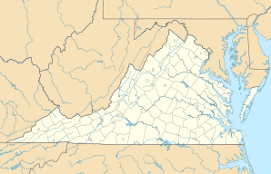
Location in Virginia
|
||
| Basic data | ||
| State : | United States | |
| State : | Virginia | |
| County : | Rappahannock County | |
| Coordinates : | 38 ° 33 ′ N , 78 ° 15 ′ W | |
| GNIS ID : | 1499856 | |
Peola Mills is an unincorporated town inhabited ( "populated place") in Rappahannock County in the US state of Virginia .
The place is in the extreme south of the county on the banks of the Hughes River . The Madison County border runs southwest of the town . It is accessible by the State Route 601 and the State Route 602 .
