Phayao lake
| Phayao lake | ||
|---|---|---|

|
||
| Geographical location | Phayao Province , Northern Thailand | |
| Tributaries | Ing , Tam and others | |
| Drain | Ing | |
| Data | ||
| Coordinates | 19 ° 10 '5 " N , 99 ° 52' 33" E | |
|
|
||
| Altitude above sea level | 380 m | |
| surface | 2.3 km² | |
| Middle deep | 1.7 m | |
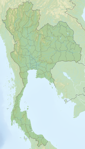
The Phayao Lake ( Thai : กว๊าน พะเยา , Khwan Phayao) is an artificially created lake in northern Thailand , on the eastern bank of which the city of Phayao is located.
location
The area of the Phayao Lake is 2.3 km² at a height above sea level of 380 meters. The mean water depth is 1.7 meters. Tributaries to the lake are the Ing from the north and, to a lesser extent, the Tam from the south . In the east it flows back into the Ing, which then turns north and flows into the Mekong at the northern border of Thailand .
Flora and fauna
To the south and west are rice fields and the land at the mouth of the Ing is swampy. The most important aquatic plants in Lake Phayao are Najas graminea and Ceratophyllum demersum ( rough horn leaf ). 22 species of fish are reported, mostly of exposed here tilapia nilolica ( Nilbuntbarsch ) and the Anabas testudineus ( climbing perch ). 47 bird species were also observed during a field study in 1982.
history
The lake was created in 1939 to improve irrigation for regional agriculture. On August 1, 2000, it was ranked among the 61 most important wetlands in the country. It is currently planned to restore the 15th century temple Wat Tilok Aram , which was flooded by water when the Phayao Lake was built.
Web links
- http://www.traveling.in.th/article.php/The-Beauty-of-Phayao-Lake Phayao Lake
- http://www.arcbc.org.ph/wetlands/thailand/tha_kwapha.htm Wetlands of Southeast Asia
