Plateliai
| Plateliai | ||
|
||
| State : |
|
|
| District : | Telšiai | |
| Rajong municipality : | Plungė | |
| Coordinates : | 56 ° 3 ' N , 21 ° 49' E | |
| Inhabitants (place) : | 1,100 (2012) | |
| Time zone : | EET (UTC + 2) | |
| Status: | Town in the district of Plungė | |
|
|
||
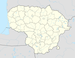
Plateliai ( Platelē ) is a town (miestelis) and the center of the eponymous administrative district (seniūnija) of the Rajongemeinde Plungė in the region of Lower Lithuania in western Lithuania .
The administration of the National Park Žemaitija is located in the town .
geography
In the area of the national park there is the Lower Lithuanian range of hills with heights between 106 and 195 m above sea level. Plateliai lies on the banks of the lake of the same name. This has an area of 1200 ha and a depth of up to 47 m.
history
The place was first mentioned in the 14th century. At that time he was on a peninsula of Lake Plateliai. The settlement burned down in the 17th century, after which the village was rebuilt at its current location.
In the center of the village there is a statue of St. Florian to protect against fires and a stele from 1928, which commemorates the country's ten years of independence. The local church was built in 1744 as the fourth house of worship on this site. It is one of the oldest baroque wooden churches in Lithuania.
Personalities
- Liudvikas Saulius Razma (1938–2019), politician
Individual evidence
- ↑ Žemaitija National Park: Landscape
- ↑ Žemaitija National Park: Places of Interest
- ↑ Bodo Thöns: Discovering Lithuania, 3rd edition, Berlin 2006, p. 240 f.


