Pug Hole Lake (Crow Wing County)
| Pug Hole Lake | ||
|---|---|---|
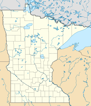
| Geographical location | Crow Wing County , Minnesota , USA | |
| Tributaries | Crooked Creek | |
| Drain | Crooked Creek | |
| Location close to the shore | Emily (Minnesota) | |
| Data | ||
| Coordinates | 46 ° 47 '12 " N , 94 ° 0' 23" W | |
|
|
||
| Altitude above sea level | 385 m | |
| surface | 19.4 ha | |
| Maximum depth | 10 m | |
The Pug Hole Lake is a small lake in Crow Wing County , the State of Minnesota . It belongs to the area of the village of Emily and lies at an altitude of 385 m . According to the Minnesota Department of Natural Resources , the lake has an area of 19.4 hectares and is nearly 10 feet deep. Pug Hole Lake is traversed by Crooked Creek and is located in the catchment area of the Mississippi River .
Web links
- Pug Hole Lake (Crow Wing County) in the United States Geological Survey's Geographic Names Information System
- Pug Hole Lake Minnesota Department of Natural Resources
