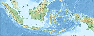
Pulau Bungin
| Pulau Bungin | ||
|---|---|---|
| Waters | Bali Sea , Indian Ocean | |
| Geographical location | 8 ° 28 '37 " S , 116 ° 59' 41" O | |
|
|
||
| surface | 8.5 ha | |
| Residents | 5025 (2014) 59,118 inhabitants / km² |
|
| main place | Pulau Bungin | |
Pulau Bungin is an island and village in eastern Bali Sea . Pulau Bungin is connected to the western part of the island of Sumbawa with an approximately 300 m long dam .
The island is considered to be one of the most densely populated islands in the world. The entire island is densely built so that there is hardly any vegetation .
Individual evidence
- ↑ BBC Indonesia: Bagaimana hidup di Pulau Bungin yang dijuluki terpadat? Retrieved February 3, 2019 (Indonesian).
