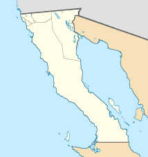
Punta Prieta (Baja California)
| Punta Prieta | ||
|---|---|---|
|
Coordinates: 28 ° 56 ′ N , 114 ° 10 ′ W Punta Prieta on the map of Baja California
|
||
| Basic data | ||
| Country | Mexico | |
| State | Baja California | |
| Municipio | Ensenada | |
| Residents | 112 (2010) | |
| Detailed data | ||
| height | 200 m | |
| Time zone | UTC −7 | |
Punta Prieta is a village in the Baja California desert in the municipality of Ensenada in the Mexican state of Baja California . Punta Prieta is also called Puerta Prieta or Mina Columbia .
geography
Punta Prieta is on Carretera Federal 1 . The neighboring towns of Punta Prieta are San Andrés , Compostela and Laguna Chapala .
