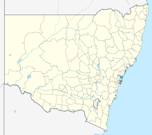
Putty (New South Wales)
| Putty | |||||||
|---|---|---|---|---|---|---|---|
|
|||||||
|
|||||||
|
|||||||
|
|
|||||||
Putty is a town in New South Wales , Australia in the Singleton Shire administrative region . 161 people lived here in 2011.
The rural town is remote on State Route 69, called Putty Road . The Macdonald River has its source at Putty.
Web links
Commons : Putty, New South Wales - Collection of pictures, videos and audio files
Individual evidence
- ↑ a b Australian Bureau of Statistics : Putty ( English ) In: 2016 Census QuickStats . June 27, 2017. Retrieved February 7, 2020.
