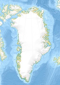
Qaarsorsuatsiaq
| Qaarsorsuatsiaq | ||
|---|---|---|
| Waters | Tasiusaq Bay , Baffin Bay , Atlantic Ocean | |
| Archipelago | Upernavik archipelago | |
| Geographical location | 73 ° 11 ′ 0 ″ N , 56 ° 15 ′ 0 ″ W | |
|
|
||
| length | 8.1 km | |
| width | 5.4 km | |
| surface | 24.5 km² | |
| Highest elevation | 320 m | |
| Residents | uninhabited | |
Qaarsorsuatsiaq (according to the old spelling K'aersorssuatsiaĸ ; German quite large rock ) is an uninhabited island in the district of Upernavik in Avannaata Kommunia , Greenland .
The island belongs to the Upernavik archipelago .
geography
The island is located on the outer edge of Tasiusaq Bay , in the south-central part of the Upernavik Archipelago . The bay's waterways divide Qaarsorsuatsiaq to the east of Innaarsuit . The highest point is an unnamed hill in the west with a height of 320 meters.
climate
The average temperature is around −11 ° C. The warmest month is July with an average of 8 ° C, the coldest is February with an average of −25 ° C.
Individual evidence
- ^ Upernavik , Saga Map, Tage Schjøtt, 1992
- ↑ Map and surroundings at mapcarta.com
