Quinton (Warwickshire)
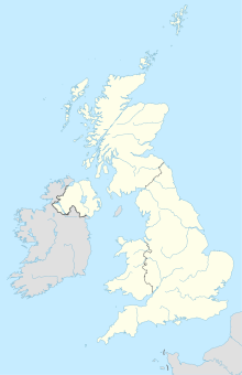
Quinton is in England situated village and civil parish in the district of Stratford-on-Avon in Warwickshire . Nearby villages are Preston On Stour (3.87 km north), Wimpstone and Whitchurch (4 km and 3.7 km north-northeast, respectively), Admington (2.5 km east), and Long Martson (2.7 km west). Long Martson Airport is one mile west of Quinton.

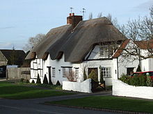
Cottage in Lower Quinton
|
geography
Quinton's position in the graticule is 53 ° 07'18 "N and 1 ° 44'29" W. The village is divided into three parts:
- Quinton
- Lower Quinton
- Upper Quinton
Street directory
All the streets in Quinton are sorted alphabetically here:
|
|
Web links
Commons : Quinton - collection of images, videos and audio files
Coordinates: 52 ° 7 ′ N , 1 ° 44 ′ W

