Réservoir Laforge-1
| Réservoir Laforge-1 | |||||||
|---|---|---|---|---|---|---|---|
| Aerial view of Réservoir Laforge 1 and Barrage Laforge-1 | |||||||
|
|||||||
|
|
|||||||
| Coordinates | 54 ° 21 '29 " N , 72 ° 9' 36" W | ||||||
| Data on the structure | |||||||
| Construction time: | 1993-1994 | ||||||
| Power plant output: | 878 MW | ||||||
| Operator: | Hydro Quebec | ||||||
| Data on the reservoir | |||||||
| Altitude (at congestion destination ) | 439 m | ||||||
| Water surface | 1 288 km² | ||||||
| Storage space | 6th 857 000 000 m³ | ||||||
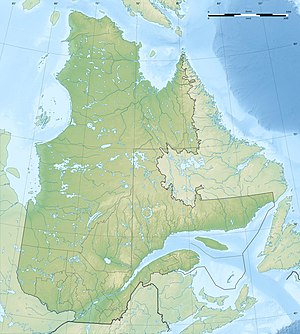
The Réservoir Laforge-1 is a reservoir in the Canadian province of Québec . Located in the Jamésie region, it is part of the Baie James hydropower project .
The Barrage Laforge-1 dam dams the Rivière Laforge , a right tributary of the La Grande Rivière . The Réservoir de Caniapiscau has belonged to the catchment area of the Rivière Laforge since its completion and feeds the Réservoir Laforge-1.
The associated Laforge-1 storage power plant with an output of 878 MW is located 531 km from the confluence of La Grande Rivière with James Bay .
Individual evidence
- ^ Réservoir Laforge 1. Commission de toponymie du Québec, accessed on December 3, 2011 (French).
- ↑ Centrale Laforge-1. Commission de toponymie du Québec, accessed December 3, 2011 (French).
- ↑ Centrales hydroélectriques. Hydro-Québec, accessed March 13, 2012 (French).

