Réservoir aux Outardes 4
| Réservoir aux Outardes 4 | |||||||||
|---|---|---|---|---|---|---|---|---|---|
|
|||||||||
|
|
|||||||||
| Coordinates | 50 ° 11 '32 " N , 69 ° 13' 36" W | ||||||||
| Data on the structure | |||||||||
| Construction time: | 1964-1969 | ||||||||
| Height of the barrier structure : | 133 m | ||||||||
| Building volume: | 7th 300 000 m³ | ||||||||
| Crown length: | 636 m | ||||||||
| Power plant output: | 785 MW | ||||||||
| Operator: | Hydro Quebec | ||||||||
| Data on the reservoir | |||||||||
| Altitude (at congestion destination ) | 354 m | ||||||||
| Water surface | 652 km² | ||||||||
| Reservoir length | 169 km | ||||||||
| Storage space | 24,353 million m³ | ||||||||
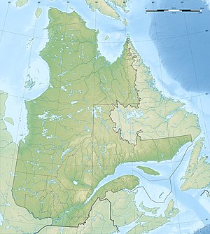
Réservoir aux Outardes 4 is a reservoir on the Rivière aux Outardes river , 70 km northwest of Baie-Comeau in the Canadian province of Québec .
The Barrage aux Outardes-4 dam at ( ⊙ ) was completed between 1964 and 1969. Together with seven other dams, it forms the 652 km² reservoir.
The storage power plant Centrale aux Outardes-4 near ( ⊙ ) is located at the foot of the dam of the same name and is supplied with water from the reservoir. The installed power of the 4 Francis turbines is 785 MW, the hydraulic potential 120 m.
Individual evidence
- ↑ Commission de toponymie du Québec - Réservoir aux Outardes 4
- ↑ Commission de toponymie du Québec - Barrage aux Outardes-4
- ↑ ( Page no longer available , search in web archives: Hydroelectric Plants in Quebec )
- ↑ a b Hydro-Québec - Hydroelectric Generating Stations
- ↑ Commission de toponymie du Québec - Centrale aux Outardes-4
