Reservoir de la Sainte-Marguerite-3
| Réservoir de la Sainte-Marguerite Barrage Denis-Perron / Centrale de la Sainte-Marguerite-3 |
|||||||
|---|---|---|---|---|---|---|---|
|
|||||||
|
|
|||||||
| Coordinates | 51 ° 18 ′ 30 " N , 66 ° 58 ′ 3" W | ||||||
| Data on the structure | |||||||
| Lock type: | Earthfill dam | ||||||
| Construction time: | 1994-2001 | ||||||
| Height of the barrier structure : | 171 m | ||||||
| Building volume: | 6th 325 000 m³ | ||||||
| Crown length: | 378 m | ||||||
| Crown width: | 10 m | ||||||
| Base width: | 500 m | ||||||
| Power plant output: | 882 MW | ||||||
| Operator: | Hydro Quebec | ||||||
| Data on the reservoir | |||||||
| Water surface | 253 km² | ||||||
| Reservoir length | 140 km | ||||||
| Total storage space : | 3 272 000 000 m³ | ||||||
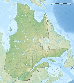
The reservoir Réservoir de la Sainte-Marguerite-3 is located on the Rivière Sainte-Marguerite in Côte-Nord in the Canadian province of Québec .
The Barrage Denis-Perron dam , built between 1994 and 2001 at ( ⊙ ), dams the river to the 253 km² Réservoir de la Sainte-Marguerite-3 . The reservoir has a volume of 3272 million m³ and a maximum depth of 142 m.
The associated storage power plant Centrale de la Sainte-Marguerite-3 is located 13 km downstream and 100 m below ground at ( ⊙ ). With an installed capacity of 882 MW , a fall height of 330 m is used.
Individual evidence
- ^ Commission de toponymie du Québec - Barrage Denis-Perron
- ↑ Commission de toponymie du Québec - Reservoir de la Sainte-Marguerite-3
- ↑ a b Commission de toponymie du Québec - Centrale de la Sainte-Marguerite-3
- ^ Hydro-Québec - Hydroelectric Generating Stations
- ↑ Structurae - Barrage Denis-Perron
