Restipass
| Restipass | |||
|---|---|---|---|
|
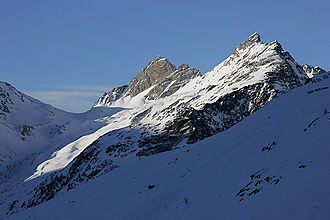
Restipass (left) from the east |
|||
| Compass direction | southwest | Northeast | |
| Pass height | 2626 m above sea level M. | ||
| Canton | Valais | Valais | |
| Valley locations | Leukerbad | Ferden | |
| profile | |||
| Ø pitch | % (1225 m /? Km) | % (1251 m /? Km) | |
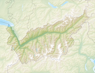
| Map (Valais) | |||
|
|
|||
| Coordinates | 620609 / 136484 | ||
The Restipass is the transition from Leukerbad to Lötschental . At the pass height of 2626 m above sea level. M. runs the border between the communities Leuk and Ferden .

