
Rio Hondo (Los Angeles River)
| Rio Hondo | ||
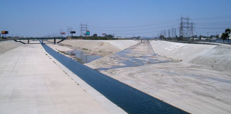
 Rio Hondo with bike path |
||
| Data | ||
| Water code | US : 248210 | |
| location | Los Angeles County , California (USA) | |
| River system | Los Angeles River | |
| Drain over | Los Angeles River → Pacific | |
| source | at Irwindale 34 ° 5 ′ 51 ″ N , 118 ° 1 ′ 16 ″ W. |
|
| muzzle | at South Gate in the Los Angeles River Coordinates: 33 ° 55 ′ 55 " N , 118 ° 10 ′ 30" W 33 ° 55 ′ 55 " N , 118 ° 10 ′ 30" W
|
|
| length | 30 km | |
The Rio Hondo is an approximately 30 km long tributary of the Los Angeles River in Los Angeles County in the US state of California . It rises in Irwindale and flows into the Los Angeles River at South Gate . The largest tributary is the Eaton Wash .
The river mostly flows parallel to the San Gabriel River . Both rivers cross the Whittier Narrows , a natural narrowness in the hills that forms the southern end of the San Gabriel Valley . Like the other rivers in Los Angeles County, the Rio Hondo mostly flows in a canal. In two places where it still flows in the natural river bed, the two parks Peck Road Water Conservation Park and Whittier Narrows Recreation Area are located .