Rudston
Coordinates: 54 ° 6 ′ N , 0 ° 19 ′ W
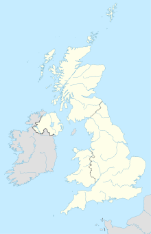
Rudston is a village in the Yorkshire Wolds , in Yorkshire in the United Kingdom . The name Rudston is made up of the Old English words "rood" for cross and "stan" for stone.
Prehistoric monuments
The menhir of Rudston is the largest in the UK . It stands 10 km west of Bridlington in the middle of the village of the same name, by the church. The menhir ( English standing stone ) is 7.7 m high, 1.8 m wide and 76 cm thick. The monolith is made of a material the nearest occurrence is about 10 miles away. Its tip is missing, if you lengthen the contour, almost 70 cm are missing. Recently, a cap was placed on the broken tip to protect the porous material from the weather. The weight of the stone is around 40 tons.
An old East English coastal path runs through the hamlet of Rudston, which is dated to prehistoric times, similar to the ox or army path on the Cimbrian Peninsula .
The Rudston area must have been a religious center in prehistoric times and is compared in importance to Kilmartin or Avebury . Around the village there are prehistoric moat wall systems, the Cursus monuments , narrow, extremely long rectangular Neolithic earthworks that are dated to the Middle Neolithic . There are several long and round burial mounds southwest of the village .
literature
- Rodney Castleden: The Stonehenge People: An Exploration of Life in Neolithic Britain 4700-2000 BC 1992
- Henry P. Chapman: Rudston 'Cursus A' - Engaging with a Neolithic monument in its landscape setting using GIS In: Oxford Journal of Archeology 22, 2003 (4), 345-356.
- Homer Sykes: Mysterious Britain - Fact and Folklore George Weidenfeld & Nicolson Ltd. 1993 ISBN 0-297-83196-8 p. 78
Web links
- Description Engl. + Picture ( Memento from August 14, 2009 in the Internet Archive )

