Saflisch Pass
| Saflisch Pass | |||
|---|---|---|---|
|
Saflisch Pass |
|||
| Compass direction | west | east | |
| Pass height | 2556 m above sea level M. | ||
| Canton | Valais | ||
| Watershed | Schiessbach, Rotten | Saflischbach, Rotten | |
| Valley locations | Rosswald | Binn | |
| expansion | Mule track | ||
| Mountains | Valais Alps | ||
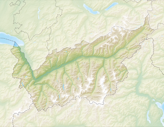
| Map (Valais) | |||
|
|
|||
| Coordinates | 650529 / 130400 | ||
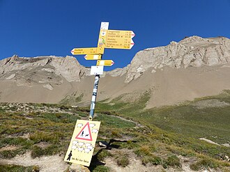
The Saflisch Pass is a mule track in the Swiss Alps . It connects Brig in Upper Valais with the Binntal and via the Albrun Pass with Italy .
It is an often used transition with a hiking trail (marked white-red-white) from Binn to Rosswald . It forms the 12th stage on the Alpine Passes Trail .
Web links
Commons : Saflischpass - collection of images, videos and audio files

