Sai (island)
| Sai | ||
|---|---|---|
| Waters | Nile | |
| Geographical location | 20 ° 42 ′ N , 30 ° 20 ′ E | |
|
|
||
| length | 12 km | |
| width | 5.5 km | |
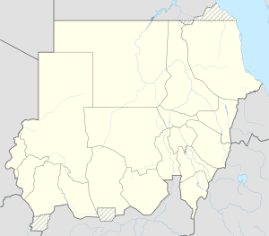
Sai is one of the largest islands in the Nubian Nile . It is about 12 km long and 5.5 km wide and is halfway between the 2nd and 3rd cataracts . Most of it is deserted, but there is also arable land on the banks. Today it belongs to the Sudanese state of Ash-Shamaliyya .
history
Significant remains from almost all periods of Nubian history can be found on Sai. The island was referred to as Schaat in Egyptian texts .
The oldest remains date from the beginning of the Egyptian Old Kingdom . It is Egyptian shards in storage pits. They indicate trade links or even a trading colony on the island. The remains of a fortress come from the Middle Kingdom . It is probably an Egyptian enclave . This area of Nubia was not otherwise under Egyptian rule at the time.
In the New Kingdom , an Egyptian city was built on Sai. Sai developed into one of the main places of Egyptian rule in Nubia. The city took up a 238 × 140 m rectangle. There was a temple and extensive necropolises could be excavated in which some high officials, such as the deputy of Kusch Hornacht , were buried.
The island was also important in the Napatan and Meroitic periods. Significant cemeteries from this period were excavated. In Christian times the island was the seat of a bishop . In the 16th century, during Ottoman times, the city was overbuilt by a large fortress.
literature
- Francis Geus: Sai . In: Derek A. Welsby / Julie R. Anderson (eds.): Sudan. Ancient treasures. An exhibition of recent discoveries from the Sudan National Museum . British Museum Press, London 2004, ISBN 0-714-11960-1 , (exhibition catalog; British Museum, 9th September 2004 - 9th January 2005), pp. 114–121.
