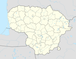
Sakūčiai
| Sakūčiai | ||
| State : |
|
|
| District : | Klaipeda | |
| Rajong municipality : | Šilutė | |
| Office : | Kintai | |
| Coordinates : | 55 ° 27 ' N , 21 ° 21' E | |
| Inhabitants (place) : | 160 (2011) | |
| Time zone : | EET (UTC + 2) | |
| Status: | Village | |
|
|
||
Sakūčiai (German Michel Sakuten ) is a village in Lithuania , in the former Memelland , in the administrative district of Kintai in the Rajongemeinde Šilutė . The place is 7 km northeast of Kintai and 12 km west of Saugos . The country roads go to Priekulė , Ventė and Žemaitkiemis (Saugos) . Sakūčiai is the center of a sub-district. The Minija flows through the village . There is a section of the Kintai Middle School .
In 1912 a primary school was built. In 1952 a library was built.
Population development
| year | Residents | Remarks |
|---|---|---|
| 1989 | 168 | |
| 2001 | 205 | 19 of them in the district of Saugos |
| 2011 | 160 |
Sons and daughters of the place
- Albinas Klimas (born March 25, 1952), politician
References
literature
- Sakūčiai. Mažoji lietuviškoji tarybinė enciklopedija, T. 3 (R – Ž). Vilnius, Vyriausioji enciklopedijų redakcija, 1971, 148 psl.
- Sakūčiai. Tarybų Lietuvos enciklopedija, T. 3 (Masaitis-Simno). - Vilnius: Vyriausioji enciklopedijų redakcija, 1987. 613 psl.
Web links
Commons : Sakūčiai - collection of images, videos and audio files
Individual evidence
- ↑ census data

