Sam Rayburn Dam
| Sam Rayburn Dam | |||||||
|---|---|---|---|---|---|---|---|
|
|||||||
|
|
|||||||
| Coordinates | 31 ° 4 ′ 0 ″ N , 94 ° 6 ′ 0 ″ W | ||||||
| Data on the structure | |||||||
| Construction time: | 1956-1965 | ||||||
| Height of the barrier structure : | 36.5 m | ||||||
| Crown length: | 5922 m | ||||||
| Crown width: | 13 m | ||||||
| Power plant output: | 52 MW | ||||||
| Data on the reservoir | |||||||
| Altitude (at congestion destination ) | 53.64 m | ||||||
| Water surface | 463 km² | ||||||
| Storage space | 4931 million m³ | ||||||
| Catchment area | 8830 km² | ||||||
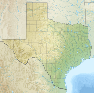
The Sam Rayburn Dam is a dam on the Angelina River in northeast Texas , USA . It is 130 km north of Beaumont and 16 km northwest of Jasper in Jasper County . The Angelina River is the main tributary of the Neches River .
The reservoir has a storage area of 4,931 km³ and is the largest lake that lies entirely in Texas. The dam was built by the United States Army Corps of Engineers in Fort Worth and is also operated by him. The barrier structure is an earth embankment dam . Construction began on September 7, 1956 and the damming of the reservoir began on March 29, 1965. It fulfills tasks in flood protection, generating hydropower, protecting water and recreational activities. The total cost - including recreational facilities - was estimated at $ 66 million.
Until 1963 the reservoir was called "McGee Bend Reservoir". In September 1963, Congress renamed it in honor of Sam Rayburn . He was the Speaker of the House of Representatives and died shortly before. He had always advocated the conservation of soil and water resources. On May 8, 1965, a celebration for the renaming took place.
See also
- List of the largest dams on earth
- List of the largest reservoirs on earth
- List of the largest hydroelectric plants in the world
- List of dams in the world
Web links
- Corps of Engineers Lake Sam Rayburn Home Page (English)
- Sam Rayburn Dam and Sam Rayburn Reservoir ( Memento of October 3, 2006 in the Internet Archive )
- Partnership of Southeast Texas - regional economic development site (English)
