Sam Neua
|
ຊຳ ເຫນືອ Sam Neua |
||
|---|---|---|
|
|
||
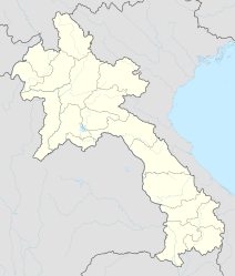
| Coordinates | 20 ° 25 ′ N , 104 ° 3 ′ E | |
| Basic data | ||
| Country | Laos | |
| Houaphan | ||
| ISO 3166-2 | LA-HO | |
| height | 1200 m | |
| Residents | 46,800 (2000) | |
|
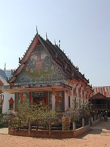
view on the city
|
||
Sam Neua ( lao . : ຊຳ ເຫນືອ ), or Xamneua , is the capital of Houaphan , a province in eastern Laos . During the Vietnam War and the Lao Civil War, the city and its surroundings served as the seat of government of the Communist Pathet Lao and was controlled by North Vietnamese troops. The area around Sam Neua is considered to be one of the most heavily bombed areas in the world.
geography
Sam Neua is located in a valley formed by the Nam Sam River at an altitude of 1200 meters.
population
The population of the city is 46,800. (Status 2000) Mainly Laotians , Vietnamese and Hmong live here . There are also some members of the Thai Dam, Thai Daeng and Thai Lü.
Culture and sights
The Wat Pho Xai monastery is located in Sam Neua. It is the only monastery in the city and is only permanently inhabited by five monks.
Another attraction is the independence monument built in 1979. It stands on a hill in the northwest of the city.
Infrastructure
Three kilometers from the city center there is an airport to which Vientiane flies irregularly .


