Satopanth
| Satopanth | ||
|---|---|---|
| height | 7075 m | |
| location | Uttarakhand ( India ) | |
| Mountains | Gangotri Group ( Garhwal Himalaya ) | |
| Dominance | 13.02 km → Chaukhamba I. | |
| Notch height | 1070 m | |
| Coordinates | 30 ° 50 '45 " N , 79 ° 12' 48" E | |
|
|
||
| First ascent | August 1, 1947 by a Swiss expedition | |
The Satopanth is a mountain in the Garhwal Himalaya in Indian state of Uttarakhand .
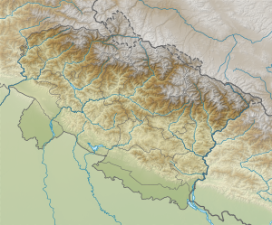
The Satopanth is located in the northern part of the Gangotri group . Its height is 7075 m . The Gangotrigletscher runs south of the Satopanth. On the eastern flank of the Satopanth is the nutrient area of the Suralaya glacier , a tributary glacier of the Chaturangi glacier . The Satopanth Glacier is not located directly on the mountain of the same name, but about 20 km further southeast in the southeast part of the Gangotri group.
The Santopanth was first climbed on August 1, 1947 by a Swiss expedition ( André Roch , René Ditterit, Alexander Graven and Alfred Sutter) over the north ridge.
Web links
Commons : Satopanth - collection of images, videos and audio files
- Satopanth on Peakbagger.com (English)
- Map, photos and description at himalaya-info.org
- Photo at summitpost.org
Individual evidence
- ^ Alpine Club Library - Himalayan Index
- ↑ Satopanth at Peakware (English)

