Schobert-Nunatak
| Schobert-Nunatak | ||
|---|---|---|
|
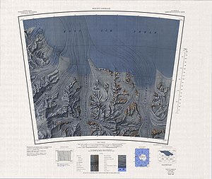
Topographic map with the Schobert Nunatak (left) |
||
| location | Ross Dependency , Antarctica | |
| Mountains | Quarles Range , Queen Maud Mountains , Transantarctic Mountains | |
| Coordinates | 85 ° 31 ′ 0 ″ S , 162 ° 14 ′ 0 ″ W | |
|
|
||
The Schobert nunatak is a nunatak on the Amundsen coast of the Antarctic Ross Dependency . At the northeast end of the Quarles Range, it towers over 6 km east of Mount Dean over the western flank of the mouth of the Bowman Glacier in the Ross Ice Shelf .
The first mapping was carried out on the basis of surveys and aerial photographs of the American Byrd Antarctic Expedition (1928–1930). The Advisory Committee on Antarctic Names named the Nunatak in 1967 after the aircraft electronics technician William J. Schobert, who had managed the maintenance service of the VX-6 flight squadron in several campaigns of Operation Deep Freeze between 1964 and 1967.
Web links
- Schobert Nunatak in the Geographic Names Information System of the United States Geological Survey (English)
- Schobert Nunatak on geographic.org (English)

