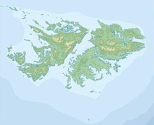
Sealion Island
| Sea Lion Island | ||
|---|---|---|
| Blue-eyed shags on a reef | ||
| Waters | South Atlantic | |
| Archipelago | Sea Lion Islands, Falkland Islands | |
| Geographical location | 52 ° 26 ′ 0 ″ S , 59 ° 5 ′ 0 ″ W | |
|
|
||
| length | 7.8 km | |
| width | 2.3 km | |
| surface | 9.05 km² | |
| Highest elevation | Bull Hill 46 m |
|
| main place | Sea Lion Island Settlement | |
Sea Lion Island ( Spanish : Isla de los Leones Marinos ) is the largest island in the Sea Lion archipelago of the Falkland Islands . The 9 km² island is about 7.8 km long and 2.3 km wide. The highest point on the island is Bull Hill , which is 46 m above sea level.
Sea Lion Island is the southernmost island of the Falkland Islands, which is still inhabited today. In the 19th century the island was a base for penguin hunting , later a sheep farm was built on the island. Since 1986 there has been a station on Sea Lion Island for observing the fauna and flora of the Sea Lion archipelago, which can also be used by tourists as accommodation. The island, consisting mainly of lutite and sandstone , is an area under the Ramsar Convention . Sea lions , orcas , penguins and site-specific species such as the Falkland Caracara or Subantarctic Skua are native here.

