Secret Lake
| Secret Lake | ||
|---|---|---|
| Geographical location | Alexander I Island ( West Antarctica ) | |
| Data | ||
| Coordinates | 71 ° 48 ′ 49 ″ S , 68 ° 19 ′ 30 ″ W | |
|
|
||
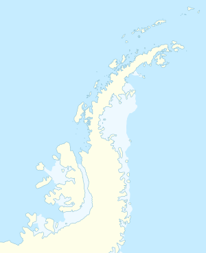
The Secret Lake (English for Secret Lake ) is a lake on the east coast of the West Antarctic Alexander I Island . It is hidden 3 km west of the Ares cliff in a north-west facing mountain basin on the eastern edge of the Mars glacier at a height of 100 m and is fed by a branched meltwater river that flows through the Viking Valley .
The British Directorate of Overseas Surveys , in collaboration with the United States Geological Survey, mapped it using Landsat images from NASA in 1973. The UK Antarctic Place-Names Committee made the descriptive naming in 1974.
Web links
- Secret Lake in the Geographic Names Information System of the United States Geological Survey (English)
- Secret Lake on geographic.org (English)
