Lake of Tunis
| Lake of Tunis | ||
|---|---|---|

|
||
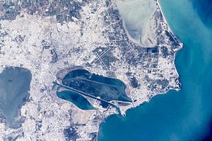
| Satellite image of Tunis and the surrounding area | ||
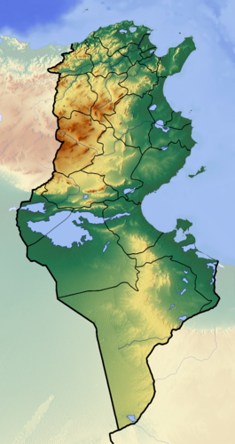
| Geographical location | Tunisia | |
| Places on the shore | Tunis | |
| Data | ||
| Coordinates | 36 ° 48 '49 " N , 10 ° 14' 42" E | |
|
|
||
| surface | 37 km² | |
| Middle deep | 1 m | |
The lake of Tunis ( arab. البحيرة al-Buḥaira or El Bahira , French Lac de Tunis ) is a lagoon between the Tunisian capital Tunis and the Mediterranean Sea with a total area of 37 km² and a depth of only about one meter.
It used to be the natural port of Tunis. Because of the progressive silting up of the lake, the French colonial rulers had the city port of Tunis connected to the sea by a ten kilometer long and 45 meter wide canal in 1888–1893 and a dam was built in parallel. The TGM electric high-speed train runs over the dam from Tunis to the port of La Goulette and the northern coastal suburbs of Carthage , Sidi Bou Saïd and La Marsa .
