Semo La
| Semo La | |||
|---|---|---|---|
|
Image from the highest mountain pass in the world |
|||
| Pass height | 5565 m | ||
| Autonomous area | Tibet Autonomous Region | ||
| expansion | Pass road | ||
| Mountains | Tibet highlands | ||
| Map (Tibet) | |||
|
|
|||
| Coordinates | 30 ° 6 '36 " N , 85 ° 25' 54" E | ||
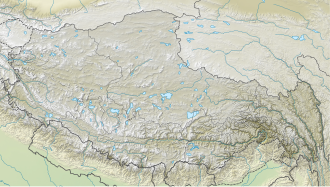
The Semo La ( Chinese 桑 木 拉 ) is a 5,565 meter high mountain pass in Tibet . It is located in an extremely sparsely populated landscape in the Transhimalayas, which is well developed in terms of traffic and is characterized by many lakes, rivers and geysers (Tagjia or “Hot Springs of the King Tiger”). Due to the fact that another passport (La) has the same name in our linguistic usage, it is also called Sarmo La by the Tibetans.
It is considered the highest passable pass on earth and is located on the Kailash North Route, which branches off the F219 to the north about 10 km west of Raka. The 421 km to Coqên are two-lane and very well paved for this altitude.

