Sevier Lake
| Sevier Lake | ||
|---|---|---|

|
||
| Geographical location | Millard County in Utah (USA) | |
| Tributaries | Sevier River , Beaver River | |
| Drain | none | |
| Data | ||
| Coordinates | 38 ° 57 ′ N , 113 ° 10 ′ W | |
|
|
||
| surface | 487 km² | |
| Maximum depth | 4.6 m | |
|
particularities |
periodic water (size is maximum value) |
|
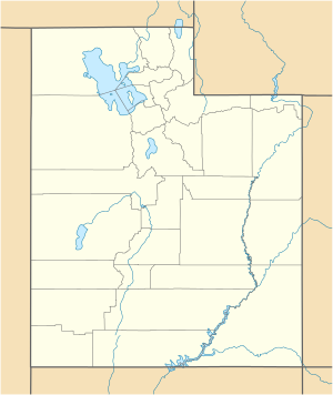
The Sevier Lake is a periodic and endorheic lake in Millard County in the state of Utah .
Like the Great Salt Lake and Utah Lake , it is a remnant of the Pleistocene Lake Bonneville . The lake fills the southern part of the Sevier Desert and receives sporadic inflows from the Sevier and Beaver Rivers and other rivers of the Escalante-Sevier hydrological sub-region. For much of recorded history, the bed of the lake has been dry and is a source of dust storms in the north of the state.
The expedition of Silvestre Vélez de Escalante and Francisco Atanasio Domínguez named the lake they discovered as Laguna de Miera after the cartographer of the expedition Bernardo Miera y Pacheco . The fur trader William Henry Ashley , who was active in the region around 1825, was the inspiration for the name Ashley Lake proposed by Jedediah Smith ; on some maps from the 19th century it is also named after Joseph Nicollet .
Today the lake bears the name of its main tributary, which Spanish researchers called the Rio Severo (Wild River) in the 18th century .
In 1872, a water cover of 188 square miles (487 km²) was measured, the maximum water depth was 15 feet (4.60 meters). The salt content was 86 ‰, which corresponds to around 250% of the average salt content of the sea. It was probably completely dry by 1878. Despite the intensive use of the Sevier River for irrigation around the Delta and the Beaver River around Milford , the lake regained the extent of 1872 in 1987.
