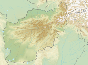
Shah Tus Aqa Ghar
| Shah Tus Aqa Ghar | ||
|---|---|---|
| height | 4803 m | |
| location | Daikondi , Ghazni ( Afghanistan ) | |
| Mountains | central Afghan mountain country | |
| Dominance | 125.2 km → Shah Fuladi | |
| Notch height | 1734 m ↓ ( 3069 m ) | |
| Coordinates | 33 ° 37 '18 " N , 67 ° 2' 51" E | |
|
|
||
The Shah Tus Aqa Ghar is a mountain in central Afghanistan .
The Shah Tus Aqa Ghar is located on the provincial border between Daikondi in the west and Ghazni in the east. With a height of 4803 m, the mountain is the highest peak in the two provinces. It is located 127 km west of the provincial capital Ghazni . Its eastern flank is drained by the Jikhai , a left tributary of the Hilmend . The western flank is drained directly to the Hilmend, which runs northwest of the mountain range.
Web links
- Shah Tus Aqa Ghar on Peakbagger.com (English)
- peaklist.org
