
Sika (island)
| Sika | ||
|---|---|---|
 |
||
| Waters | Lake Flores , Lake Sawu | |
| Archipelago | Alor archipelago | |
| Geographical location | 8 ° 7 '10 " S , 124 ° 36' 52" E | |
|
||
| length | 1.25 km | |
| width | 550 m | |
| surface | 50 ha | |

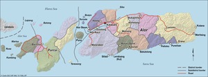
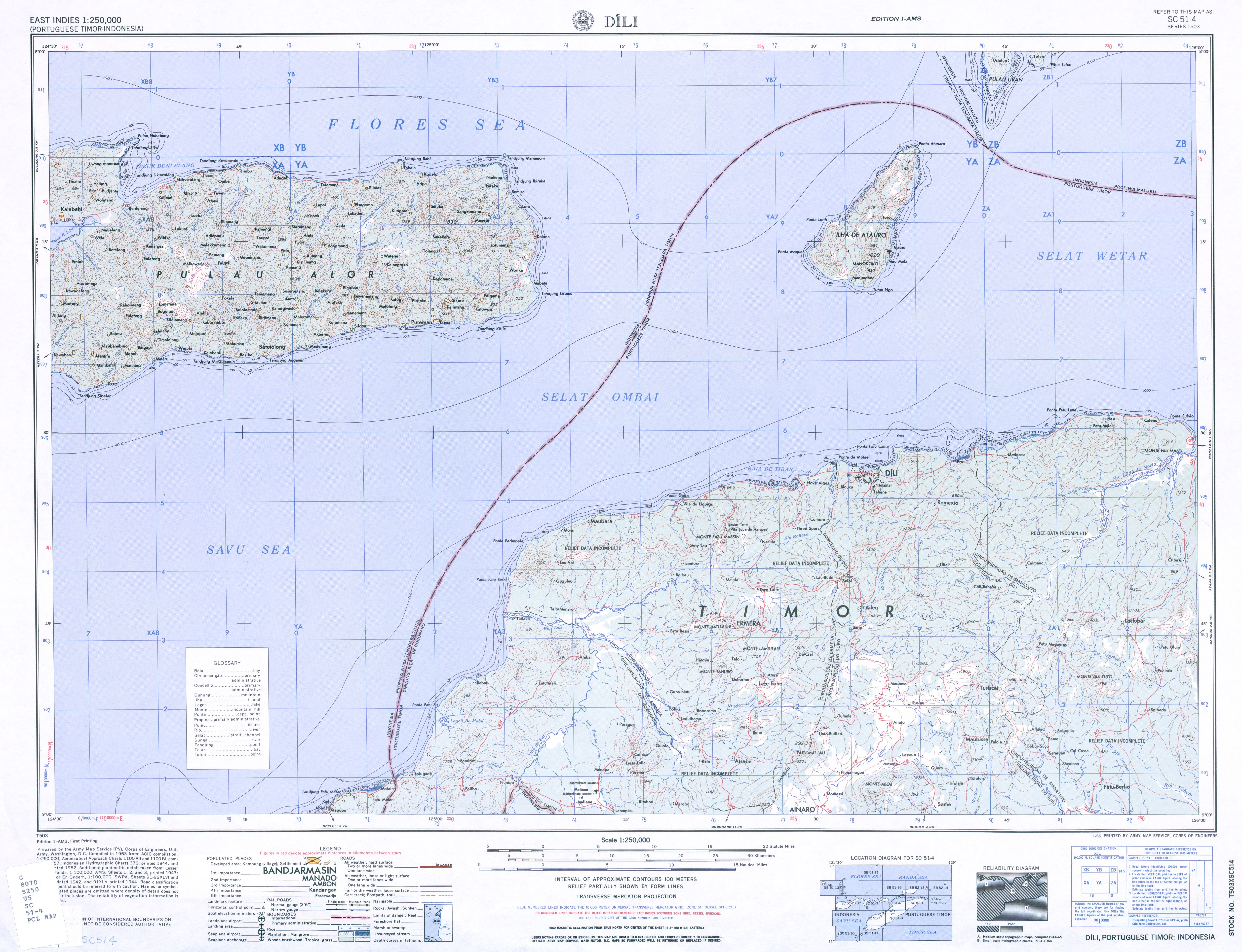
Sika ( also Nuhabeng) is an Indonesian island in the Alor archipelago .
geography
The island is located north of the island of Alor in the Flores Sea . It belongs to the Kabola district .