Skanstullsbron
Coordinates: 59 ° 18 ′ 12 ″ N , 18 ° 4 ′ 45 ″ E
| Skanstullsbron | ||
|---|---|---|
| The bridge with a subway passing over it | ||
| Subjugated | Hammarby Canal | |
| place | Stockholm | |
| construction | Arch bridge | |
| overall length | 574 m | |
| Number of openings | 16 | |
| Longest span | maximum 118 m | |
| height | 32 m | |
| start of building | 1944 | |
| completion | 1947 | |
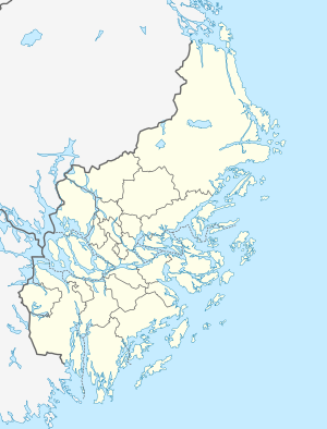
| location | ||
|
|
||
Skanstullsbron is a road and rail bridge in the Swedish capital, Stockholm . It is located south of the Södermalm district and spans the Hammarby Canal .
The bridge is 574 meters long and has a clearance height of 32 meters. This makes it, together with the neighboring Johanneshovsbron, the highest bridge in Stockholm. It spans two more bridges with the Skansbron and the Fredriksdalsbron .
The bridge connects Södermalm and the Götgatan shopping street with the Johanneshov district . Construction of the reinforced concrete bridge began in 1944 and was finished in 1947.
The bridge has two lanes in each direction, a pedestrian crossing on each side and two tracks for the Stockholm subway on the western edge .
Web links
- Skanstullsbron. structurae.de, accessed on October 14, 2015 .
Individual evidence
- ↑ Skanstullsbron. structurae.de, accessed on October 14, 2015 .


