Skoler Beskids
| Skoler Beskids | ||
|---|---|---|
|
View of the mountains near the town of Skole |
||
| Highest peak | Paraschka ( 1268 m ) | |
| location | Ukraine | |
| part of | Outer Eastern Carpathians | |
|
|
||
| Coordinates | 49 ° 2 ′ N , 23 ° 25 ′ E | |
| rock | Flysch | |
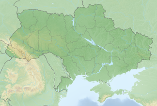
The Skoler Beskydy (Ukrainian Сколівські Бескиди / Skoliwski Beskydy ; Russian Сколевские Бескиды / Skolewskije Beskidy , Polish Beskidy Skolskie ) are a mountain range in Ukraine . It is located in the southern part of Lviv Oblast , mostly northwest of the eponymous city of Skole , the mountainous region extends at an altitude of 600 to 1260 m (highest point Paraschka / Парашка). In the southeast the Gorgany joins as a mountain range, to the northwest the Hochdnister-Beskids .
The Skoler Beskydy National Park stretches across large parts of the mountain range and was founded on February 11, 1999.
Web links
Commons : Skoler Beskydy - Collection of pictures, videos and audio files


