
Gorgany
| Gorgany | ||
|---|---|---|
 View of the Syvulja |
||
| Highest peak | Sywulja Welyka ( 1836 m ) | |
| location | Ukraine | |
| part of | Outer Eastern Carpathians | |
|
||
| Coordinates | 48 ° 30 ′ N , 24 ° 0 ′ E | |
| rock | Flysch | |

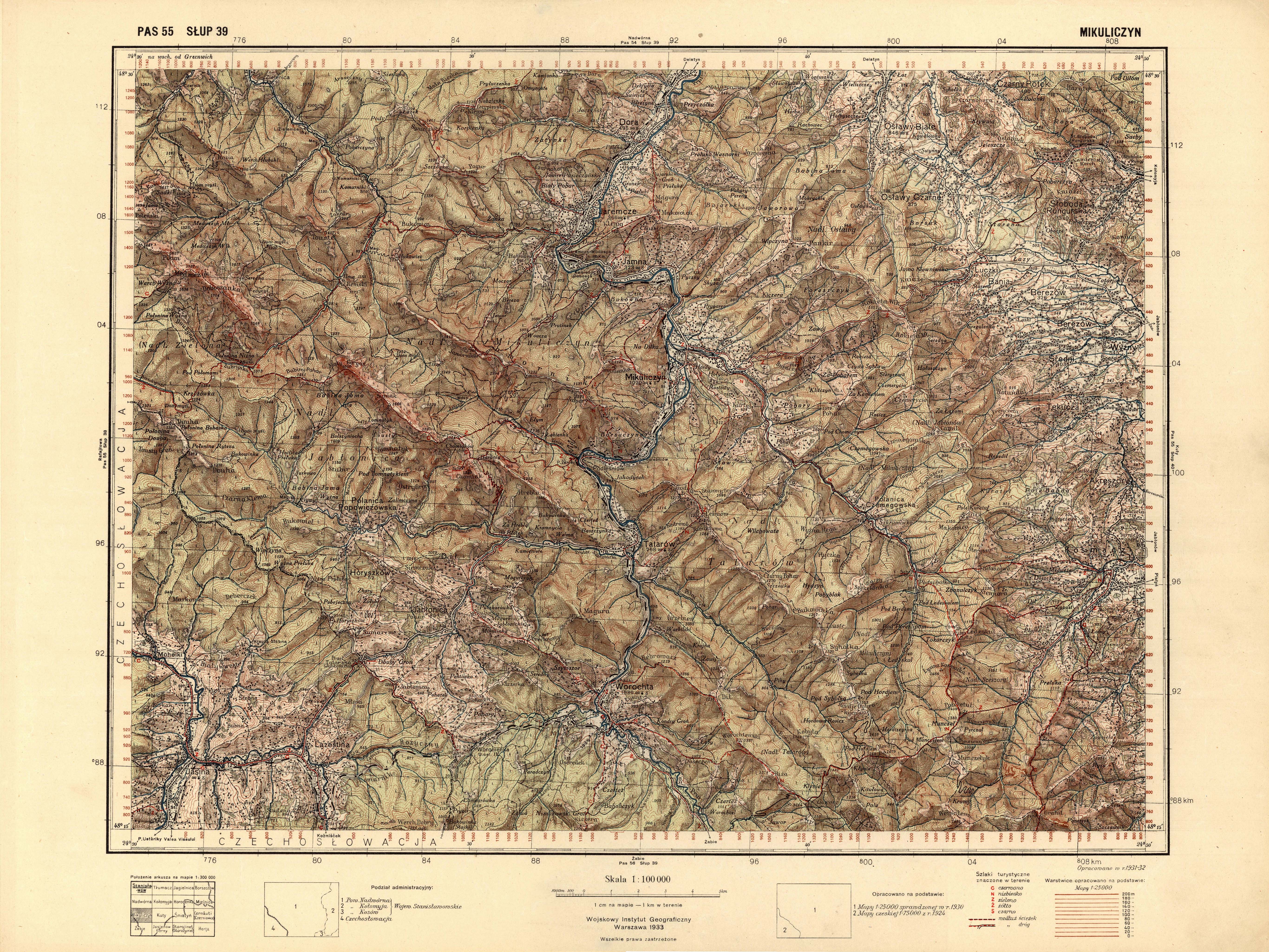
The Gorgany (Ukrainian Ґорґани ; Russian Горганы) is a mountain range in western Ukraine .
It lies in the Outer Eastern Carpathians , connects to the Chornohora to the north, and continues to the north-west with the Skoler Beskids . The Sywulja Welyka ( 1836 m ), the Ihrowyschtsche , the Wyssoka and the Grofa are among the highest peaks .

Typical of from flysch existing Mountain the extensive debris fields ( Gorgan or Grechot called). They are bounded to the west by the Mysunka River and the Vyshkovsky Pass and to the east by the Prut and the Jablunyzky Pass . The Gorgany is one of the most thinly populated regions of Ukraine, living in the west part of the people of Boyko dealing with grazing and logging.

Larger places in the region are Vorokhta and Yaremche . In Gorgany located at 1371 m high Dowha near the village Polyanytsya with the winter sports - Resort Bukovel of the largest and most modern ski resort Ukraine .
The Gorgany includes the following mountain ranges:
- Arshytsia (Аршиця)
- Borsukowa (Борсукова)
- Gorgan (Ґорґан)
- Dowbuschanka (Довбушанка)
- Ihrowyshche (Ігровище)
- Bratkiwskyj (Братківський)
- Parenky (Паренки)
- Synjak (Синяк)
- Strymba (Стримба)
- Chomjak (Хом'як)
- Tschortky (Чортки)
- Jawirnyk (Явірник)
Web links
Individual evidence
- ↑ website for the village on karpaty.life ; accessed on April 18, 2017 (Ukrainian)
- ↑ Description of Mount Dowha on kafa.ws , accessed on April 18, 2017 (Ukrainian)