Sluseholmen
| Sluseholmen | ||
 House front in the canal district on Sluseholmen |
||
| Geographical location | ||
|
|
||
| Coordinates | 55 ° 38 '43 " N , 12 ° 32' 57" E | |
| Waters 1 | Copenhagen South Harbor | |
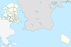
Sluseholmen is an artificial peninsula in the south harbor of Copenhagen .
The former island takes its name from Sluse, which means sluice , which is located to the south and serves to regulate the water level in the port. Heavy industry and part of the southern dock of the Burmeister & Wain shipyard used to be located on the island . Massive renovations have been carried out since the turn of the millennium and the island has mainly been converted into a residential area. Due to its numerous canals, Sluseholmen is now a preferred residential area with a maritime atmosphere. A bascule bridge built in 2011 connects Sluseholmen with the industrial island of Teglholmen .
