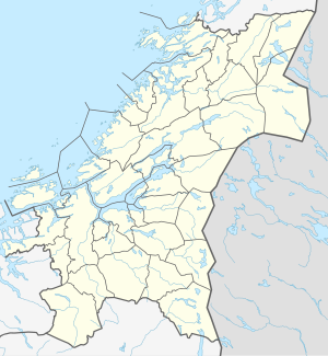
Snåsavatnet
| Snåsavatnet | ||
|---|---|---|

|
||
| Geographical location | Steinkjer , Snåsa in Trøndelag ( Norway ) | |
| Tributaries | Granaelva | |
| Drain | Byaelva in the Beitstadfjord | |
| Places on the shore | Snåsa | |
| Data | ||
| Coordinates | 64 ° 15 ′ N , 12 ° 18 ′ E | |
|
|
||
| Altitude above sea level | 22 moh. | |
| surface | 121.58 km² | |
| scope | 152.32 km | |
| Maximum depth | 125 m | |
Snåsavatnet (or Snåsavatn ) is the name of the sixth largest inland lake in Norway and is located in the municipalities of Steinkjer and Snåsa, northeast of the town of Steinkjer in Trøndelag .
The Snåsavatnet offers good fishing for trout , char and burbot . The record for the largest trout was caught in 1988 at 12.7 kg.
See also
literature
- Bjørn Saether: Flora and vegetation in Snåsavatnet . University of Trondheim 1982.
