Starshot glacier
| Starshot glacier | ||
|---|---|---|
|
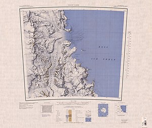
Map sheet with the Starhot glacier |
||
| location | Ross Dependency , Antarctica | |
| Mountains | Churchill Mountains and Surveyors Range , Transantarctic Mountains | |
| length | 80 km | |
| Coordinates | 81 ° 20 ′ S , 160 ° 20 ′ E | |
|
|
||
| drainage | Ross Ice Shelf | |
The Starshot Glacier is a roughly 80 km long glacier in the Antarctic Ross Dependency . It flows from the polar plateau in an easterly direction through the Churchill Mountains and then north on the western flank of the Surveyors Range to reach the Ross Ice Shelf south of Cape Parr on the Shackleton Coast .
Participants of a campaign carried out from 1960 to 1961 as part of the New Zealand Geological Survey Antarctic Expedition named it after the star observations ( English starshot ) that had been carried out for the purpose of surveying the glacier area.
Web links
- Starshot Glacier in the Geographic Names Information System of the United States Geological Survey (English)
- Starhot Glacier on geographic.org (English)

