Muro dam
| Barragem Romana do Muro | |||||
|---|---|---|---|---|---|
|
|||||
|
|
|||||
| Coordinates | 39 ° 0 '59 " N , 7 ° 0' 58" W | ||||
| Data on the structure | |||||
| Construction time: | Roman time | ||||
| Height of the barrier structure : | 4.6 m | ||||
| Crown length: | 174 m | ||||
| Base width: | 4.2 m | ||||
| Data on the reservoir | |||||
| Water surface | 8.27 hectares | ||||
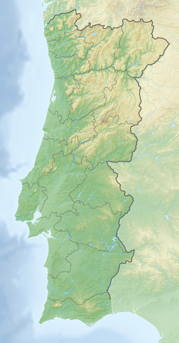
The Muro Dam ( Barragem Romana do Muro in Portuguese ) is a Roman structure near the city of Campo Maior in Portugal . It is the largest preserved dam wall in Portugal south of the Tagus from ancient times .
The well-preserved remains of the dam are now in an olive grove, about 3 km east of the city limits. The course of the 174 m long structure is slightly angled in three places.
On the downstream side there are sixteen small supporting pillars at a distance of 3 to 4 m . The middle section, which reaches the greatest height and thickness, is additionally reinforced on the air side by three upright arches that extend from pillar to pillar. According to the description of the monument, the opus incertum construction technique was used to build the wall .
See also
Web links
literature
- Alexander Decker: Some Roman dams in today's Portugal. In: Günther Garbrecht (Ed.): Historical dams. Volume 2. Konrad Wittwer Verlag, Stuttgart 1991, ISBN 3-87919-158-1 , pp. 73-81 (No. 4).
- Thomas G. Schattner (Ed.): Archaeological guide through Portugal (= cultural history of the ancient world . Vol. 74). Philipp von Zabern, Mainz 1998, ISBN 3-8053-2313-1 p. 128
Individual evidence
- ↑ a b c Barragem do Muro. In: Pesquisa Geral - Pesquisa do Patrimonio. Direção Geral do Património Cultural , accessed March 28, 2018 (Portuguese).
- ↑ a b Decker (1991), pp. 78-79 (No. 4).
- ↑ (Fig. 4.) Barrage de Muro (Campo Maior). Parement aval avec arc de soutènement . Retrieved April 8, 2011 .
