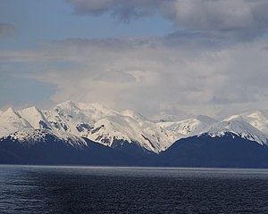
Stephens Passage
| Stephens Passage | ||
|---|---|---|
| View from Tracy Arm to Stephens Passage | ||
| Connects waters | Gastineau Channel | |
| with water | Frederick Sound | |
| Separates land mass | Admiralty Island to the west | |
| of land mass | American mainland to the east | |
| Data | ||
| Geographical location | 57 ° 47 ′ N , 133 ° 49 ′ W | |
|
|
||
| length | 170 km | |
| Stephens Passage with Admiralty Island in the background | ||
The Stephens Passage is a 170 km long strait in the panhandle of the US state Alaska . It is located in the Alexander Archipelago and runs between Admiralty Island in the west and the mainland in the east.
The Stephens Passage connects to the north of the Gastineau Channel south of Juneau , leads in a slight curve to the south and flows into Frederick Sound . The Tracy Arm is about halfway down the passage.
The strait was named in 1794 by George Vancouver, probably after Sir Philip Stephens.
The ferries of the Alaska Marine Highway operate in Stephens Passage.
Web links
Commons : Stephens Passage - collection of images, videos and audio files


